358Calgary Area CCUS Feasibility Study
Entice Alberta, East of Calgary

CDL
PRCC
January 2022
Play(s):
N/A
Nisku, Lower Leduc, Beaverhill Lake, Basal Cambrian Sandstone
Fluid(s):
Carbon Dioxide
N/A
Area:
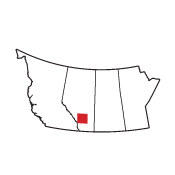
East of Calgary (Twp 17-34 and R 15W4 to 2W5)
N/A
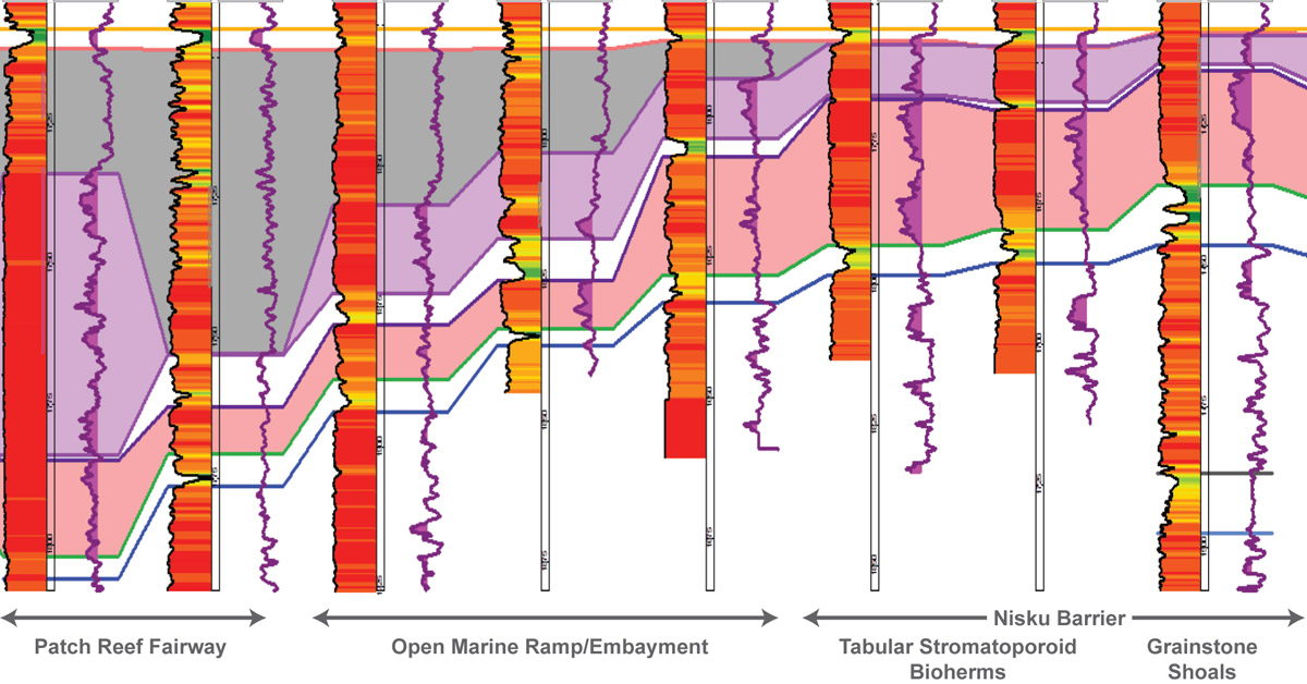
The geological and hydrodynamic study area comprises townships 17-34 and ranges 15W4 to 2W5, located near CO2 stationary emitters and infrastructure, with a focus on assessing deep saline aquifers for the feasibility of carbon capture and storage (CCS). Four reservoir zones were identified, including porous dolomite in the Nisku, Lower Leduc, and Beaverhill Lake formations and porous sandstone in the Basal Cambrian Sandstone Formation.
The hydrogeological systems were analyzed regionally and locally, where sufficient data was present, to classify hydrodynamic systems using pressure, TDS and salinity to understand aquifer isolation and water chemistry. Understanding the separate systems helps map the future containment of the sequestered CO2.
Regional carbon storage resource was calculated in megatonnes (Mt) and estimated to be 84 Mt in the Nisku, 55 Mt in the Lower Leduc, 109 Mt in the Beaverhill Lake and 409 Mt in the Basal Cambrian Sandstone.
Deliverables include a detailed written report, net reservoir, structure, average porosity, pressure, and temperature and estimated storage maps, as well as petrological and petrophysical analyses of several wells, pressure elevation, and porosity-permeability core cross plots.